15
July 2010
We should have planned a little better; if we had, we wouldn't have
come all the way down into Sioux Falls, only to have to go back up into
Minnesota this morning. Water under the bridge; in the event the ride
up wasn't that bad, except there was disagreement between the two GPSs
as to which route to take. We stayed on I-90 until SR 23 up to
Pipestone, where all three GPSs determined the best route was through a
city park, where the road was gravel, until no road existed. After we
turned around, went back, and applied some human intelligence, and
found the sign that pointed to the real road, we discovered we'd been
within ~100 yards of making it through.
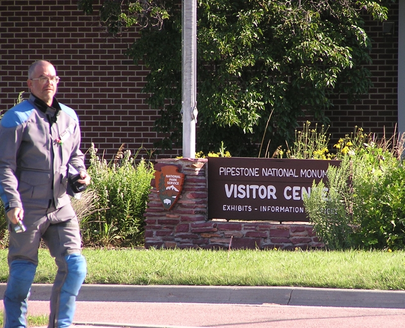
The lady at the monument was disappointed that we couldn't stay for the
movie, and was only slightly mollified when I told her I'd given it
more attention two years ago.
We got gas before we left town, passing up the Cenex station for a
Shell, where both of us grabbed the wrong hose, not realizing that
there was a separate one for the premium. (On my R11 GS I used to get
better mileage on mid-grade, and used it exclusively; that doesn't seem
to be the case with the R12.)
On the way back south, we took the 'alternate' route; I had noted road
construction in several places on westbound I-90, and hoped to avoid
some of it. The speed limit on that alternate was five miles faster,
and the road was in better repair, but of course it dumped us right
into the middle of one of those construction areas. We weren't there
long, the route took us on the bypass around Sioux Falls, and south.
Lots of construction on I-29 also; about the time I was starting to
think gas might be a good idea, there was a sign that said "Exit 95
closed, use 105." As we approached 105, I could see there were no
services, but a sign for "Blencoe, 1 mile." Ok, Blencoe it is. Except
there was no visible gas station; there was a card-operated pump
station for Co-op Members. We went around a clanging railroad crossing
(no sign of any sort of train traffic) until we came to the other side
of town, where we asked a couple of sweet old ladies if there was any
gas. "They say you can buy it at the Co-op..." Back around the RR
crossing (still no train) and pull up to the pump, where a local is
just finishing. "Can you do us a favor?" thinking I could give him cash
if he used his card for us. "They'll sell you gas, just go to the
office..." (100 yards away, up the steps.) So I did, where there were a
dozen folks sitting around eating box lunches. Happy to take my $20, he
turned on the pump: "Stop when you hit $20..." $10 each didn't quite
fill us, but happy to be on the road again.
Down to Omaha, where we'd laughed at the projected route to the Lewis
& Clark NHT headquarters. It was as bad as it'd looked,
twisting a
pretzel around some left turn loops under the bridge, and to the
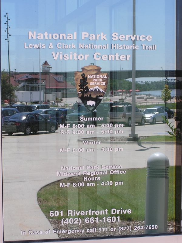
riverfront site. When we walked in, the ranger seemed to know what we
were looking for, and after a bit interrupted her conversation with a
lady she'd been helping (extensively, it seemed) and pulled the stamp
station from under the desk. We asked her about the Mormon Trail center
across the river; she didn't know much, but was pretty sure they must
have a stamp because it was the center for a lot of trails.
We twisted our way back up to the bridge, and found our way south to
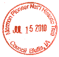
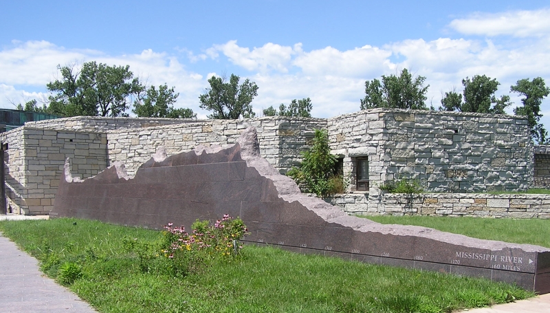
Council Bluffs and that 'trail center,' where there was an acoustic
folk concert going on in the lobby. They had six trail stamps; we both
feel guilty about scoring more than one stamp per stop, so only picked
the Mormon Trail one, since that's what we'd stopped for.
At our next gas stop, we decided to stop in St Joseph, rather than
press on into Kansas City and fight what would most certainly be rush
hour traffic, looking for a motel. As soon as we got off in St Joe,
there was a Super 8, with a helpful clerk (and a kibitzing lobby girl)
who told us where the nearest grocery store was; once we'd unpacked we
trekked down there and bought the night's repast.
States: South Dakota, Minnesota, Iowa, Nebraska, Missouri
next
home


