28
July 2010
It's a quandary when you don't quite need gas at the start of a
day--fill up now, or get some miles in and wait until you might need a
break for other reasons? Since we were starting on an interstate,
finding a place to stop shouldn't be a problem, so we're off, with a
break in about half an hour.
We break again about half way through that tank; we're taking a
combination of interstates and the backroads that connect them to route
to the parks--sometimes that works for me, sometimes for Boyd.
The first park of the day is one commemorating the Johnstown flood; at
the exit from the highway, the gps says go right, but I see a sign for
the park that says go left--we go left, and head southeast, then
northwest to get to the visitor center. We spend a little time reading
about the broken dam that caused it, and imagining the valley in front
of us full of water.
As we leave, the gps says go right instead of back the way we came in,
so I figure why not see, and off we go. But it wants us to turn left
where there's no visible road, and we end up looping through the town of
South Fork, and back onto the highway we'd come in on. Oh, well.
Next on the agenda is Fort Necessity, where we don't spend a lot of
time, just enough so we don't feel too guilty about disappointing the
wheelchair-bound ranger who'd given us the brochures.

As we're coming off US119 at the Monongahela River, I think I see a
sign for the Friendship Hill NHS pointing right, but both gps say go
left, so I do--we cross the river and wend our way north along the left
bank. After a few miles, they point us down a dirt road (cliff) with a
right turn across the river, where there's no bridge. Should have
believed the sign.
Retrace back to the first intersection, and follow the sign, ignoring
the gps's insistence that we go back. Soon enough, we see a sign to
turn off toward the park, and do so. Neither gps shows a road there,
which explains why they wouldn't route that way. @*%$ Navtec maps!
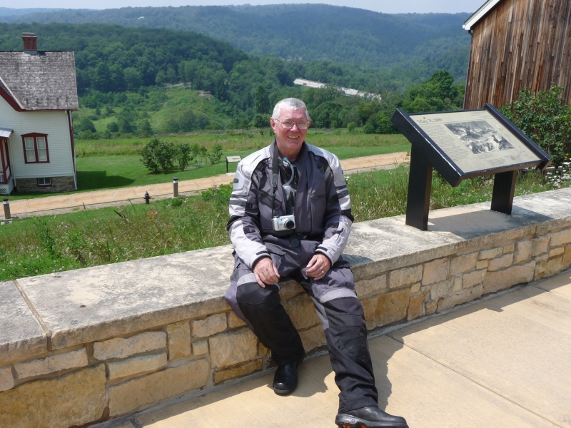
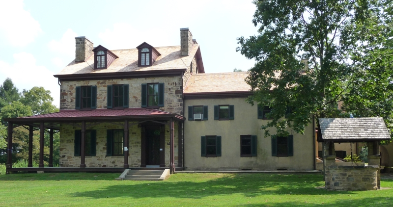
We climb the hill from the parking lot and wander through Gallatin
House, cooling off some from the now oppressive heat &
humidity, and decide we've had enough for the day.
Punch "lodging" into the gps, and end up in Warrensburg, still
Pennsylvania, although we were hoping to make it into
West-by-God-Virgina. Tomorrow.
State: Pennsylvania
next
home