Even though I expected they'd be lying, I checked with the two 'travel weather' sites: WoW as usual couldn't find its weather servers, and Accuweather said there was a remote chance of some rain in northern Florida. Okay, we'll go with that.
I hadn't filled up the night before, so after a half hour on the road I pulled over to empty one tank and fill the other; both should be good for a while.
I was still on US27, with its plethora of stoplights, now down to two lanes each way--guess this might be the stretch I talked about ten years ago. Eventually I left it for US129...
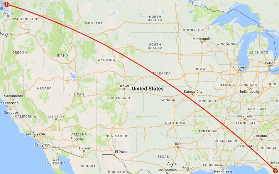
I'm trying a new route planning algorithm for this leg: instead of drawing a straight line between here and Washington, I figured a 'great circle' would be shorter--you know, if you stretch a string between two points on a globe, it won't be a straight line on a "Mercator Projection" map. So I found a website (for pilots) that'll plot a 'great circle' between any two airports, and create a downloadable Google Map of it; that's what I did.

Of course, it's not always possible to find roads that conform exactly (or in some cases even closely--not many places to cross the Mississippi), so perhaps I should update the starting point every day--nah!
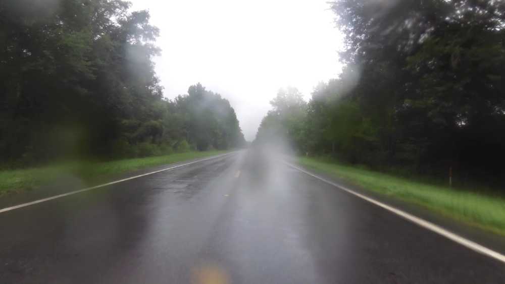
Remember that chance of rain? Hah! I was 'treated' to sporadic cloudbursts almost all my way out of Florida. It would come down in buckets for five minutes, then clear off and be muggy for half an hour, then repeat. I tried taking a video of one, but it didn't work so well; here's a frame from it anyway.

Every time I could see one approaching, I'd take off my gloves and tuck them and the Nuvi into my tank bag until it cleared again.
Once I crossed into Georgia the rain stopped. I can't really blame Florida, but...
Stopped for gas in Pelham--I'm averaging about 55 mph, and still getting over 200 miles / tank, which is costing me about $25 / day; not too bad...
I'd set my route to cross the Walter F George Reservoir at Eufaula, which looked like it might be interesting; I even started the camera recording as I approached...in the event, it was pretty boring, much like the videos I took on the Keys' "Seven Mile Bridge." Meh.
I happened to glance down at one of the GPSs (which had been projecting my 'destination' arrival time around 1900) and saw that I was now getting there at 1803--whoa, must have crossed into the Central Time Zone, so I changed the bike's clock to conform.
Once again, I'm riding on these tiny county roads, most of which are in as good repair as the major ones, and much more lightly traveled. You do have to pay attention to the route changes, though--a minute's inattention had me brake quickly and hang a U-ey to get back to where I should have turned left...
A search for lodging "at my destination" turned up a Super 8, and a Winn-Dixie within shouting distance--as I got closer, the skies started to darken, and I wondered if I'd make it without getting wet (again). Wasn't a problem, though.
As I'm clearing the electronics off the bike for the evening, I can't unplug the power cable from the phone. I finally tear the cable trying to do so, and a postmortem reveals that it's welded into the socket. Uh-oh. Pliers seemingly get all the pieces out, but it doesn't look good, and a new cable won't charge it. In retrospect, making sure to get an $89 GPS out of the rain instead of an $850 phone was a poor choice. I guess I thought the phone was more waterproof--but not while its power cable is plugged in.
Motel: $75.54
Groceries: $10.46
Next
Home