Had a nice strong wifi signal in the morning, but no internet--and I didn't want to bother the proprietor with it; figured I could get underway quicker--and I did, a bit.
Wound my way around the lake, past the overlook for the Grand Coulee Dam...I have a memory of stopping here more than 30 years ago, and there being an overlook on the east side, but I'm probably wrong, memories being flexible.
It's a beautiful morning, although I don't know what the day will hold; I didn't bother with the TV weather, nor "weather.com"--not that it makes much difference, since I gotta go where I gotta go.
Through a bunch of apple...farms? ranches? orchards?...took me a while to realize that they were apples, finally recognizing the symbols on the stacks and stacks of boxes / crates staged for packing.
Across the Colombia River at Bridgeport, then along it for a few miles and into the Okanogan National Forest on a delightfully twisty SR153 to Twisp, where Boyd and I spent the night in 2010. Some kind of festival going on there on a Saturday morning, with pedestrians clogging up the streets and slowing traffic.
SR20 (the Cascade Highway) takes me through more spectacular scenery, transitioning from the Okanogan forest into the North Cascades National Park. Traffic isn't bad on this entertaining road, most of it is moving at a good pace, and the occasional slowpoke can be dispatched at the sensibly marked straights--no constant double-yellows here (yet?).
I'm starting to wonder about fuel, though...this has gone on for a lo-o-ong time. A quick check with the Nuvi shows a couple of stations well within range; as it happens, pretty much where 20 exits the forest near Marblemount.
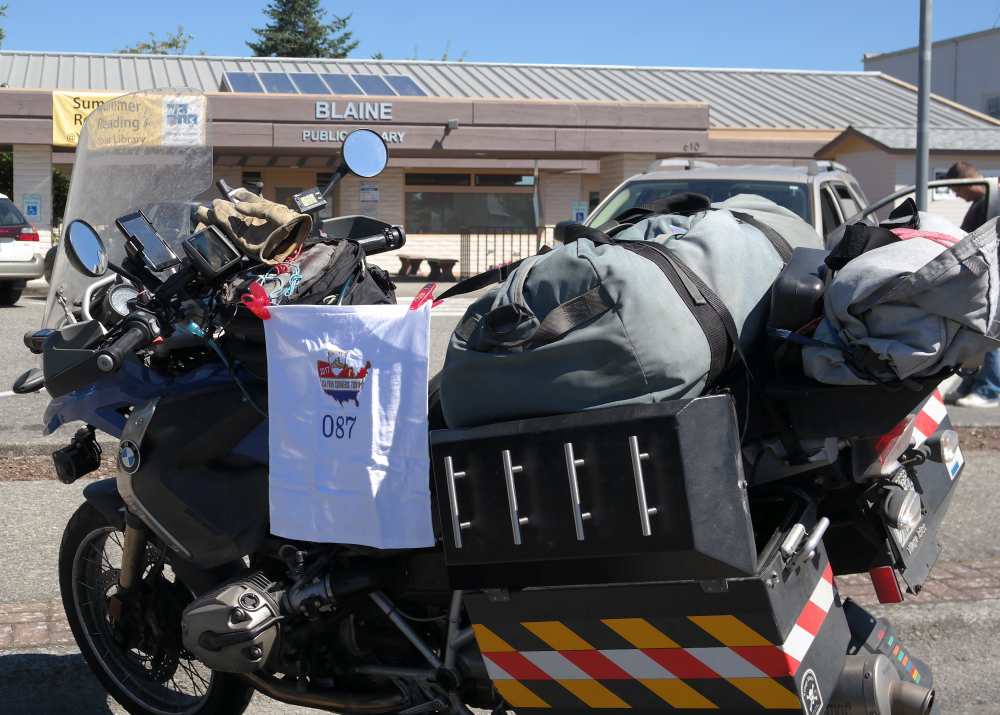
More of SR20 takes me along the Skagit River to SR9 at Wooley; that north, then another few uninspiring side roads avoid a stretch of I-5; eventually, though, it's pretty much the only choice for the run up to Blaine. Off at the terminus, and a quick gas stop for the Blaine receipt. I'd intended to get a picture at the old city hall, but passed the library on my way, so took one there:

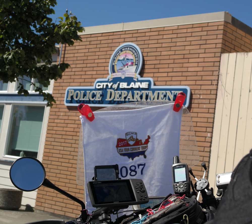
...and...why not, another where the city hall used to be--it's some municipal building now, but the police station is right there, with a nice sign, so I got that, too.

Then the drone south on I-5...I'd set a couple of options for where I might stop, not knowing how long it'd take me to get the Blaine proofs; in the event the farthest one would be easily reachable--after some slow-and-go on the freeway through Marysville into Everett.
East on US2 gets me to Monroe and the Fairground Inn...what happened to cheap motels? Still, I'm pretty sure the (much newer looking) Evergreen Inn & Suites across the street would be even more. And groceries at Fred Meyer are more than I've been paying (although that was a pretty good sandwich).
Motel: $111.09 (weekend rate?)
Groceries: $17.42 (Fred Meyer isn't Wal*Mart)
Next
Home